Travel guide
A slower coastal stretch on Con Dao
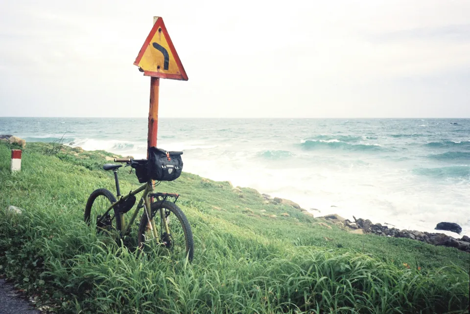
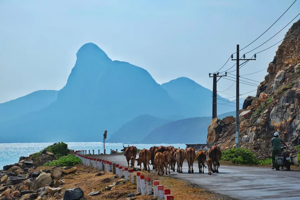
Choose a section suited to the group’s riding ability; leave time for views and everyday island traffic.

Getting around Con Son: choose transport for the actual journey
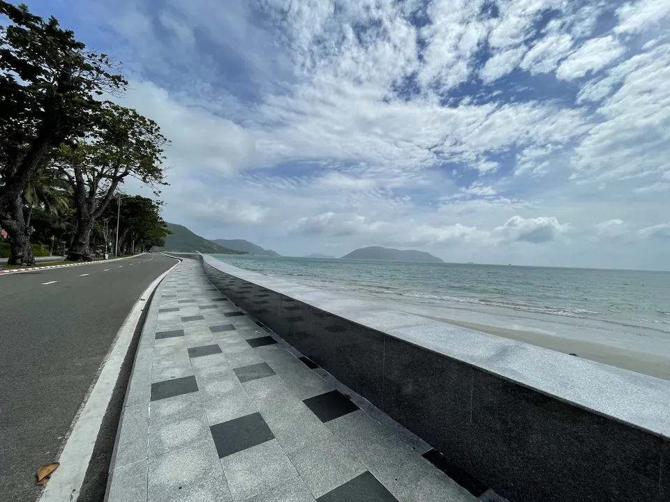
Use your lodging as the starting point and ask staff to check the actual walking route to your chosen destination. A pin close to another pin does not establish a comfortable pavement, shade or an easy crossing. Begin with one central stop and a nearby place to eat; add more only if the group still wants to walk. Carry water and keep a vehicle alternative for heat or rain. Do not turn an attractive coastal road into an assumed pedestrian route simply because photographs make it appear quiet.

Photographing Con Dao: beaches, memorials and sensitive habitats
Plan one or two coastal stops and allow time for changing light instead of trying to chase every viewpoint on the island. Use an established stopping place agreed with your driver; do not ask to stop on a bend simply because the view is attractive. Compose from permitted, stable ground without moving towards a cliff edge or crossing a barrier. The visible beach can change with water level and weather. A cloudy day may still produce useful photographs, while bright sunshine does not establish safe sea access.
Choose the experience that fits
| Choice | What to consider |
|---|---|
| Getting around Con Son: choose transport for the actual journey | At a beach or viewpoint, agree a collection point that both parties can identify and a realistic pickup window. Save the booking details and a local contact offline; a map screenshot can help when a place has several entrances. If the weather changes, use the agreed contact rather than seeking an improvised ride from a restricted or exposed roadside. Compare the total daily transport cost with your lodging location. A central base and one planned excursion may be simpler than repeatedly arranging long transfers. |
| Photographing Con Dao: beaches, memorials and sensitive habitats | Carrying a drone is not confirmation that it can be flown. Obtain the relevant current permission and site agreement before planning any flight, and do not infer permission from social media footage. For ordinary cameras, keep your kit manageable for the transport and walking involved. Record the exact place names while travelling so that captions distinguish a town beach, a prison compound and an offshore island accurately. A small collection of correctly identified, respectful images tells a stronger story than a larger set assembled from uncertain locations. |
Ask VietnamGuide AI
Ask VietnamGuide AISources
Explore more
- Con Dao arrival: keep the first day light
Confirm the flight and transfer to your lodging, then add a manageable market visit if time allows.
- From the museum to Phu Hai: link documents and space
Use displays for a historical framework, then read the relic’s courtyard and rooms through those questions.
- Con Dao: distant bay, closer shore
Compare the bay panorama, Dat Doc and an unnamed shore to ask precisely about beach access.