Travel guide
Limestone and volcanoes: different stories in Phong Nha and Ly Son
An unusual rock shape does not identify the same process.
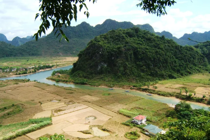

A perspective for your choice
Phong Nha separates rock age, cave opening and formation growth; Ly Son suggests volcanic rock and later change. Comparing process questions values difference without dating rocks from colour.
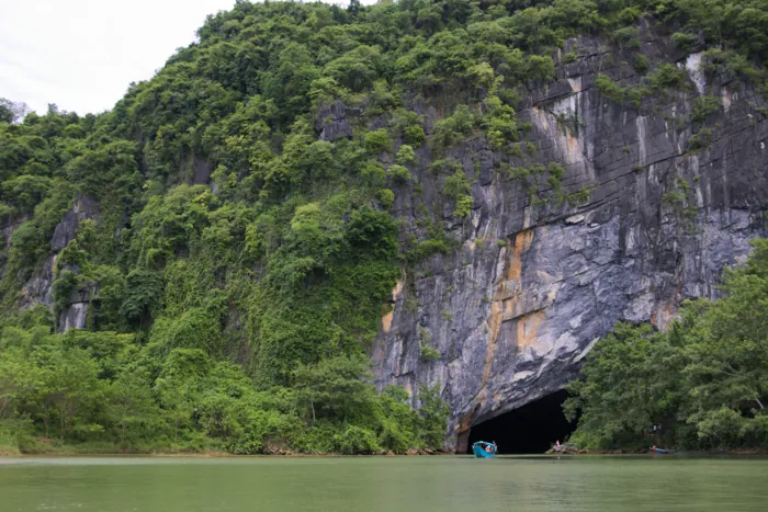

How Phong Nha caves form: read the limestone landscape
A cave visit becomes richer when the walls and water make sense. Phong Nha’s scenery is part of a much older limestone landscape, shaped by several processes over long periods. The age of the rock, the opening of a passage and the growth of a delicate formation are different stories; a single dramatic number cannot describe them all.
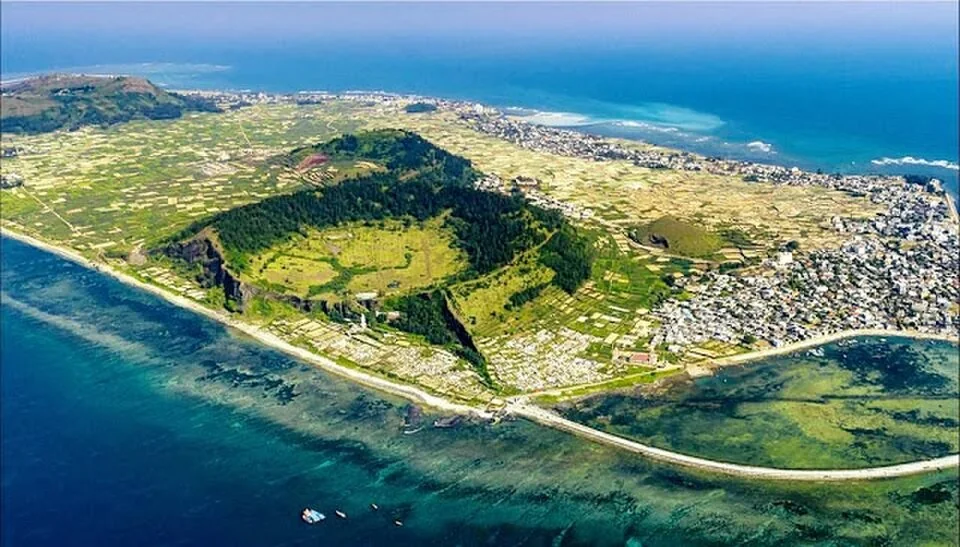



Reading Ly Son’s volcanic landscape through shore and crater
Ly Son’s scenery becomes more interesting when its landforms are read together. The island offers volcanic rock, cliff sections and crater-shaped high ground, then shows how waves and people have altered that setting. This is an opportunity to observe an ancient landscape; it is not a tour of an erupting volcano.
Choose the experience that fits
| Choice | What to consider |
|---|---|
| How Phong Nha caves form: read the limestone landscape | Since its 2025 extension, the World Heritage property includes Phong Nha–Ke Bang and Hin Nam No across the Vietnam–Laos border. This shared geological context does not create a cross-border walking route or visitor permit. Enjoy the connected story while booking individual visits under the relevant local arrangements. Leave with an understanding of processes and scale, rather than a list of unverified cave rankings or an expectation that every underground feature can be visited. |
| Reading Ly Son’s volcanic landscape through shore and crater | Photograph textures from stable ground and leave rock, shells and reef material in place. Do not chip samples, draw on stone or enter fields for a closer look. Group the eastern sites separately from western To Vo and Gieng Tien instead of crossing the island repeatedly. If wind or waves close one viewpoint, another permitted landscape or a village break can keep the day worthwhile. |
| Try this | On separate visits ask which visible evidence supports the geological explanation. |
Ask VietnamGuide AI
Ask VietnamGuide AISources
- 1. whc.unesco.org/en/list/951/
Source checked:
- 2. csdl.vietnamtourism.gov.vn/dest/
Source checked:
- 3. lyson.quangngai.gov.vn/upload/2006771/fck/adminhls/CA____M_NANG_LY___SO__N_A_-_Z_9814b.pdf
Source checked:
- 4. vietnam.travel/things-to-do/ly-son-island-vietnams-next-must-visit-island-destination/
Source checked:
Explore more
- White Palace facing the sea: its Front Beach setting
An architectural question and a shore pause give a visit two layers.
- The Moc Chau road: arrange a real pause, not a Thung Khe photograph
A stop should serve passengers before serving a camera angle.
- Hoi An: something you make, something you buy at the market
Lantern making and market browsing need not become identical souvenir stops.