Travel guide
Tay Ninh from a summit, shore or valley: choose one landscape
An open horizon feels different from mountains enclosing a valley. Before adding stops in Tay Ninh, decide what you want to see: elevation at Ba Den, open water at Dau Tieng, or the surrounding slopes of Ma Thien Lanh. One deliberate focus can make a better outing than a longer checklist.
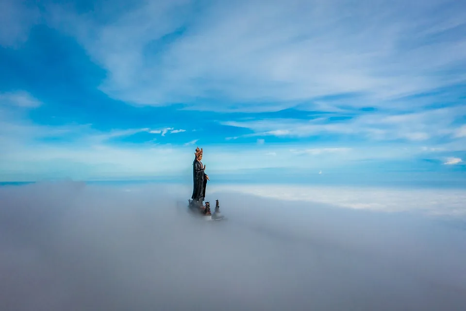

Ba Den: choose elevation, then the right route
For a high viewpoint, distinguish the summit service from the pagoda-area service. The operator describes Van Son between the foot and summit, Chua Hang to the pagoda area, and Tam An between that area and the summit. A cable-car label alone is not enough to choose a package. Check operating routes, walking beyond stations and visibility. A seat in a cable car does not certify a step-free outing; poor weather can remove the view you came for.
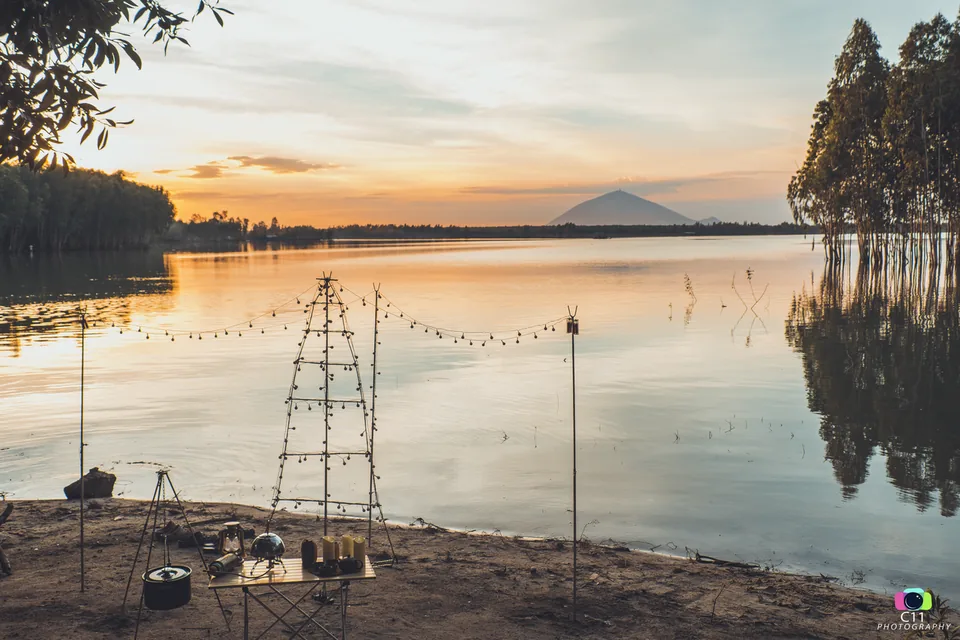

Dau Tieng: a water horizon, not an assumed beach
The reservoir offers a different openness: water and a distant shore become the subject. For a quiet viewing stop, establish a permitted shore location, resting place and return transport first. Tourism promotion is not permission to enter every shore, camp, light fires or swim. If your group needs supervised swimming, a beautiful reservoir photograph does not establish that service.


Ma Thien Lanh: mountains around you
Local tourism identifies the valley between Ba Den, Phung and Heo mountains. This is not a repeat of a summit panorama: consider it for a close-ground sense of enclosing slopes from a permitted stop. Scenic valley access is different from entering forest to climb. Use confirmed access and decline a forest excursion when its operator and route permissions are unclear.
Choose by the goal and what could undermine it
For elevation, favour Ba Den after route and visibility checks. For broad water, consider an authorised Dau Tieng shore with a confirmed stop and return. For enclosing slopes nearby, consider Ma Thien Lanh only after access is settled. This compares experiences, not a measured one-day route. Add a second stop only when usable time remains and it contributes a genuinely different perspective.
Omitting a stop is a valid weather plan
When rain compromises access or the desired view, another outdoor landscape is not automatically a suitable backup. Postpone, rest or choose a confirmed indoor activity instead. Check current operation notices, permissions and costs; this article does not fix fares, opening hours or transfer times. Historical photographs identify places, not guaranteed clouds, water levels, dry paths or safe conditions on your day.
Ask VietnamGuide AI
Ask VietnamGuide AISources
- 1. sunworld.vn/vi/ba-den/di-chuyen/bat-mi-kinh-nghiem-di-cap-treo-nui-ba-den-cho-nguoi-di-lan-dau-20193
Source checked:
- 2. dulich.tayninh.gov.vn/tin-tuc/cuoi-tuan-o-tay-ninh-top-5-diem-vui-choi-giai-tri-khong-nen-bo-lo-1602
Source checked:
- 3. dulich.tayninh.gov.vn/tin-tuc/khu-du-lich-ma-thien-lanh-1296
Source checked:
- 4. bvhttdl.gov.vn/tay-ninh-khuyen-cao-khong-tu-to-chuc-tour-leo-nui-kham-pha-rung-trai-phep-o-nui-ba-den.htm
Source checked:
Explore more
- Choose a Cham-tower outing around Quy Nhon: Twin Towers, Banh It or Canh Tien?
Compare an urban pair, a hilltop ensemble and a tower connected with Do Ban; choose an architectural question rather than collecting all three.
- Three layers of Can Tho heritage: Binh Thuy house, communal house and Ong Pagoda
Choose between family architecture, village memory and a community religious setting; these three Can Tho sites are not interchangeable monuments.
- Nha Trang through towers, pagoda and cathedral: choose an architecture outing
Compare Ponagar, Long Son Pagoda and the Mountain Cathedral by architectural interest, living belief and walking conditions to confirm.