Travel guide
Phong Nha beyond the cave mouth: river, limestone and riverbanks
An underground visit grows richer when the water and life along the banks become part of the story.
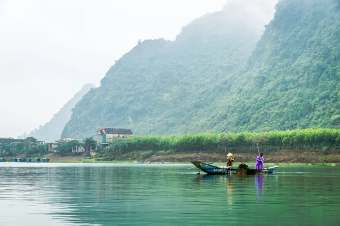

A perspective for your choice
The river approach, limestone landscape and lived-in riverbanks offer different readings of a connected setting. Linking them through questions about water and vegetation helps reveal relationships, rather than treating each stop as an isolated photographic backdrop.
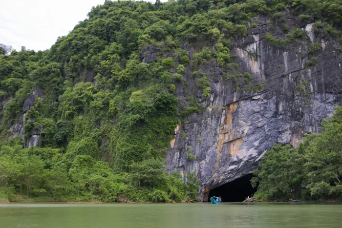

Phong Nha Cave: plan the riverboat and walking visit
The park's visitor information describes a boat approach followed by underground sightseeing and a walking section through dry branches. That combination matters when you pack and when you assess access. A seat on a boat does not remove the need to board, step ashore or negotiate the visitor path. Ask staff which sections are operating that day and whether anyone in your party can remain with the boat when a walking section is unsuitable.
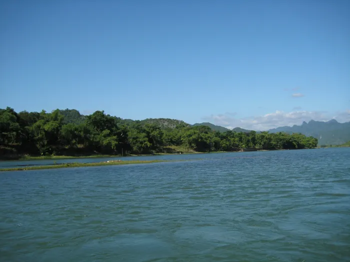

Son River villages: see the lived-in landscape of Phong Nha
The Son River is more than the approach to Phong Nha Cave. It is also the setting for settlements, boats and ordinary daily routines beside the limestone landscape. A slower riverside visit gives those surroundings room to become part of your trip, rather than a passing background between hotel and cave. This guide focuses on the river's lived-in banks, not on entering the cave or planning a full day away from caves.
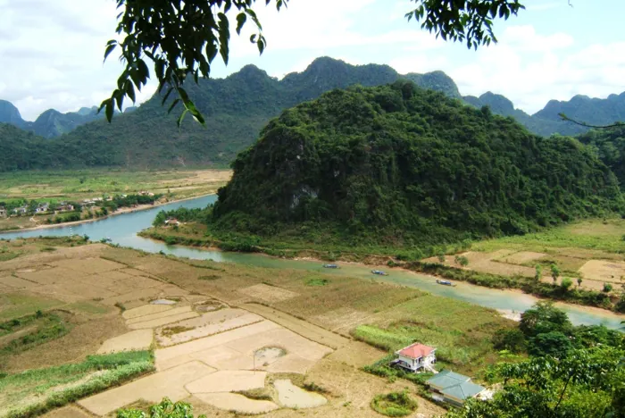

How Phong Nha caves form: read the limestone landscape
UNESCO places the beginnings of this karst landscape around 400 million years ago. That does not mean every chamber or stalactite is the same age. Notice cliffs, enclosed valleys and places where water disappears from view. A local geological explanation can connect these surface features with underground drainage. Use a diagram or guide’s interpretation to understand what is visible rather than claiming to identify a rock layer from its colour alone.
Choose the experience that fits
| Choice | What to consider |
|---|---|
| Phong Nha Cave: plan the riverboat and walking visit | River conditions determine what can operate, regardless of how attractive an old photograph looks. Reconfirm departures locally before arranging a tight onward transfer and retain a land-based alternative if boats are suspended. Combining nearby Tien Son Cave adds a substantial hillside climb; it is not simply another seated boat stop. Choose that addition deliberately, with enough energy and time to enjoy both visits rather than treating a combined ticket as an obligation. |
| Son River villages: see the lived-in landscape of Phong Nha | Take drinking water, weather protection and footwear suited to the chosen lanes. Arrange transport back if the walk is one-way and keep the plan short enough to enjoy rather than endure the heat. After heavy rain, ask which riverbank sections remain suitable and avoid damaged edges. A comfortable stop at an invited riverside business can be a more rewarding finish than trying to reach a supposedly perfect sunset location with uncertain access. |
| How Phong Nha caves form: read the limestone landscape | Since its 2025 extension, the World Heritage property includes Phong Nha–Ke Bang and Hin Nam No across the Vietnam–Laos border. This shared geological context does not create a cross-border walking route or visitor permit. Enjoy the connected story while booking individual visits under the relevant local arrangements. Leave with an understanding of processes and scale, rather than a list of unverified cave rankings or an expectation that every underground feature can be visited. |
| Try this | In each setting note where water appears and how vegetation changes; take those observations to an interpreter rather than guessing geology. |
Ask VietnamGuide AI
Ask VietnamGuide AISources
- 1. phongnhakebang.vn/du-lich/phong-nha-ky-quan-de-nhat-dong1
Source checked:
- 2. phongnhakebang.vn/van-hoa-lich-su
Source checked:
- 3. phongnhakebang.vn/news/huyen-thoai-song-son-en
Source checked:
- 4. whc.unesco.org/en/list/951/
Source checked:
- 5. csdl.vietnamtourism.gov.vn/dest/
Source checked:
Explore more
- A night in Phong Nha’s caves: choose the journey, not just the roof
Compare Hang En and Hang Pygmy through approach, camp and return, beyond chamber size.
- A Mekong skill to take home: from wrapping cakes to cooking
Banh xeo, banh cong and a suitable cooking session connect tasting with something you can learn to do.
- Hue up close: Dong Khanh details and An Dinh façades
These two complexes reveal changing late Nguyen architecture through worship spaces and a royal family setting.