Travel guide
Without swimming: an Eo Gio or Ghenh Rang coastal pause
Choose a coastal stop for resting and observing rather than for photographic lines when swimming is not the plan.

A perspective for your choice
Eo Gio and Ghenh Rang prompt a different planning question: how to spend time by the sea without entering it. Companions’ needs and permitted stopping areas matter more than adding a stop; photos do not establish accessibility for everyone.
Eo Gio: follow the wind and the curve of the rocks
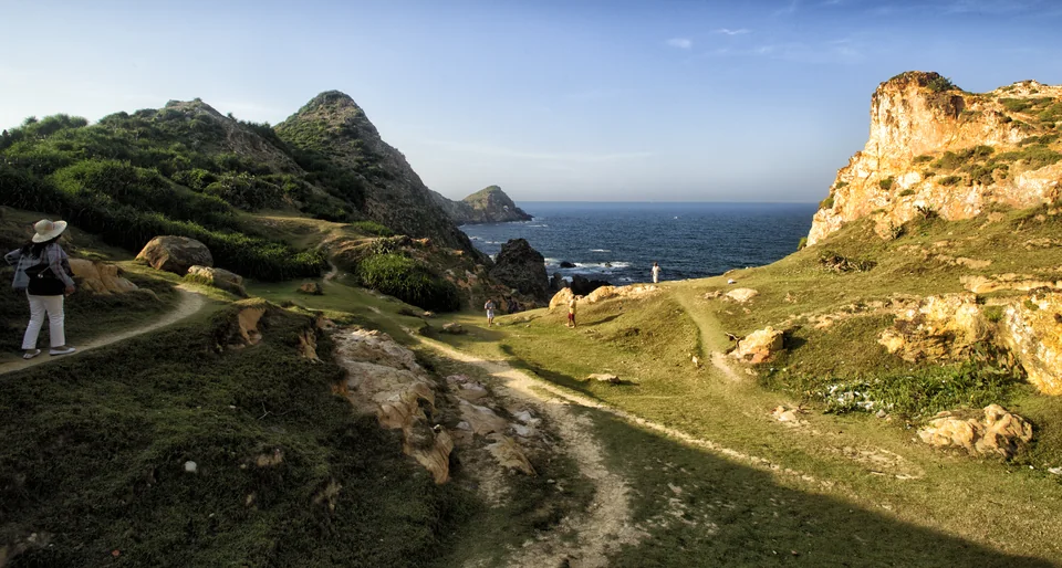
Eo Gio is best approached as a place to look and listen. Near Nhon Ly, the mountains curve around a rocky inlet, making the relationship between wind, stone and water unusually easy to read. A walk here works well without a swimming plan or an ambitious scramble: the coastline itself supplies enough movement.


Ghenh Rang–Tien Sa: read a coast of stone, sea and hill
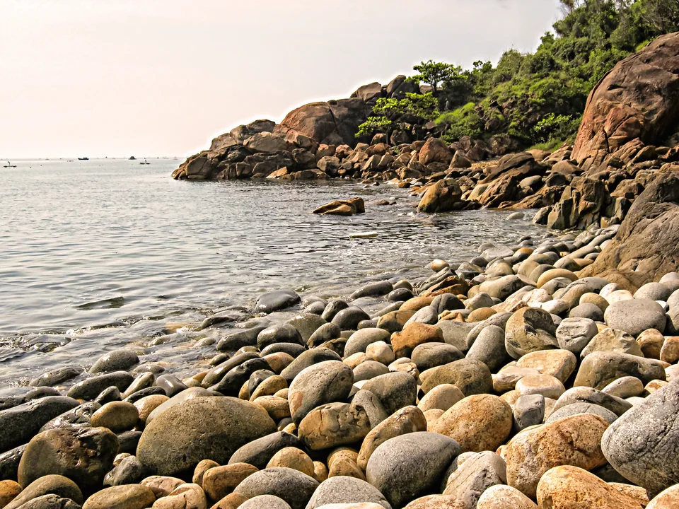
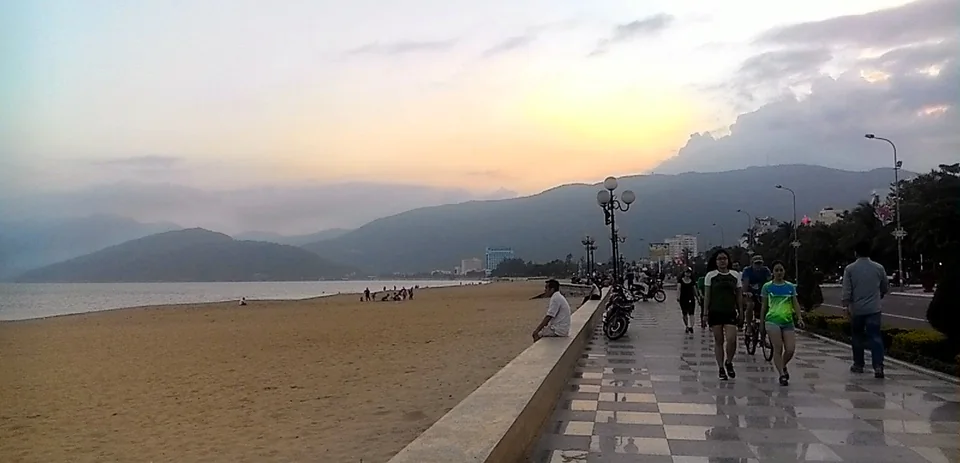
Ghenh Rang–Tien Sa brings the scale of a hillside and the detail of a rocky shore together near Quy Nhon. It works best as a landscape visit with several pauses rather than a race around separate photo points. Let the changing relationship of stone, slope and sea guide the outing, while leaving the poet’s memorial and Queen Beach their own distinct stories.
Choose the experience that fits
| Choice | What to consider |
|---|---|
| Eo Gio: follow the wind and the curve of the rocks | Give Eo Gio one clear place in a Nhon Ly day: viewpoint walk first, then a drink and a meal in the village, with time left for its lanes. Confirm the open route, entry arrangements and return pickup before starting; do not build the afternoon around an assumed boat connection. Carry water and sun protection, keep loose items secured in wind and use shoes with a reliable grip. If the weather makes the exposed walk uncomfortable, shorten it and spend longer in the village rather than forcing a full circuit. |
| Ghenh Rang–Tien Sa: read a coast of stone, sea and hill | Before walking, confirm which paths are open and choose a turnaround that fits the group’s energy. Hillside routes and steps can make a short map distance feel longer, particularly in heat, so leave room for a drink and a rest. Arrange the return pickup at an accessible, permitted point rather than expecting a vehicle beside every viewpoint. After the walk, a simple meal back towards town can complete the outing. The aim is to leave with a sense of how the landscape fits together, not with proof that every path has been covered. |
| Try this | Ask management about access, resting places and restricted areas before choosing. Change plans if these do not suit your companions rather than push towards the waves. |
Ask VietnamGuide AI
Ask VietnamGuide AISources
- 1. vietnam.travel/node/1453
Source checked:
- 2. csdl.vietnamtourism.gov.vn/dest/
Source checked:
Explore more
- Take a question from sculpture to tower: Da Nang and Canh Tien
A museum detail can deepen a later architectural visit.
- From statue to grave: remembering Quang Trung and Kim Dong
Different memorial forms invite different questions; a statue cannot replace the historical account.
- Sa Dec and Da Lat: follow a colour to see the grower
Beyond a beautiful bed lie tending, arranging and getting plants to buyers.